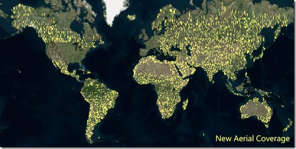
 Bing Maps has added 13 million sq km, or 315.92 terabytes, of new aerial imagery from around the world. The high-resolution nadir or ‘straight down’ orthophotographs are taken by aircraft or satellite. Microsoft, the company behind Bing Maps, says it is routinely refreshing its imagery.
You can find some of the images here.
[Image courtesy: Bing Maps]

